 MENU
MENU 

Using remote sensing to track microplastics in the ocean
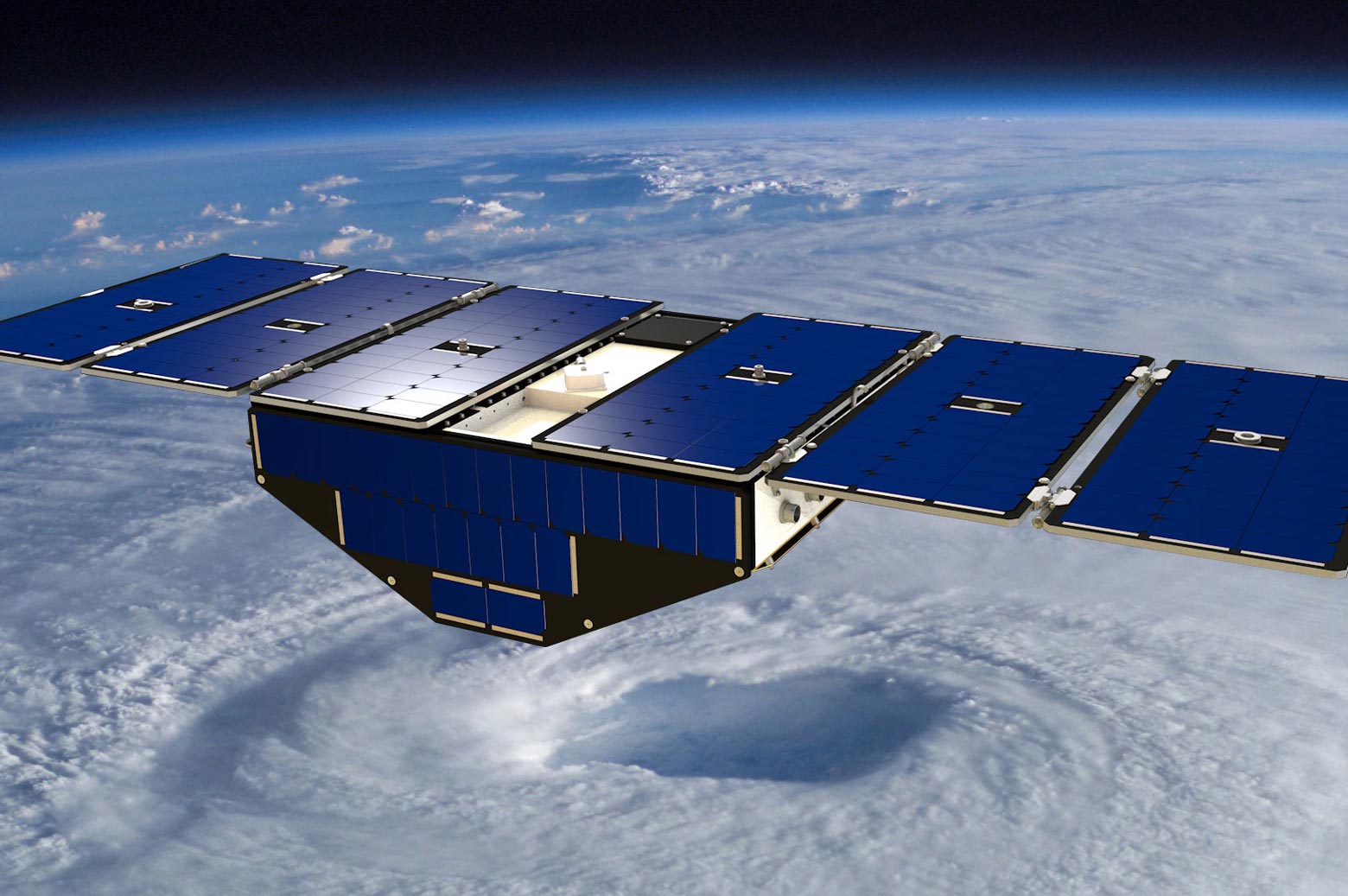
Madeline Evans has spent the majority of her undergraduate career in Electrical Engineering working on how to spot miniscule particles of plastic from space. Currently a research assistant with Christopher Ruf, a Professor of Climate and Space Sciences and Engineering with a courtesy appointment in ECE, Evans uses NASA’s Cyclone Global Navigation Satellite System (CYGNSS) to monitor the movement and location of microplastic pollution.
“The goal is to get a better handle on where microplastics are entering the ocean and where they go from there,” Evans says. “The oceans are just giant, and our technique could help target clean-up efforts by showing where the biggest entry locations and accumulation sites are.”

Microplastics are plastic particles that measure less than 5 millimeters in diameter and pollute entire ecosystems of marine life. They’re difficult to see and even more difficult to remove, making them a particularly difficult problem to solve. With humans producing over 359 million metric tons of plastic in 2018, the scale of the problem continues to grow.
The traditional method for tracking microplastics involves sending trawlers out to collect samples to estimate the movement and extent of the pollution. However, this method results in incomplete data collection that doesn’t reflect real-time conditions.
Ruf and Evans believed that remote sensing methods had the potential to yield far more accurate results. Ruf is the principal investigator for CYGNSS, which was designed to monitor hurricanes, and he and Evans decided to adapt it to monitor the ocean surface to detect microplastics as well.
“CYGNSS has really great spatial and temporal coverage,” Evans says. “You can see the whole world in pretty much a day or two, so it’s well-suited to this application.”
Ruf and Evans used CYGNSS’ measurements of the ocean’s surface roughness to confirm the presence of microplastics by comparing the measurements to predicted values given local winds speeds. They validated their approach by comparing it to other models for predicting microplastics. However, unlike other methods, their approach shows the extent of microplastic pollution in real time.
“It was kind of surreal to see it actually working, and to see the microplastics moving around,” Evans says. “This is the first time we’ve been able to track how dynamic the changes are, especially over the seasons.”
This is the first time we’ve been able to track how dynamic the changes are, especially over the seasons.
Madeline Evans
Ruf and Evans found that microplastic concentrations tend to fluctuate seasonally. They reach their highest concentrations in the North Indian Ocean in late winter/early spring and lowest concentrations in early summer, a pattern that coincides with monsoon season. They also detected a strong seasonal pattern in the Great Pacific Garbage Patch, whereby concentrations of microplastics are highest in summer and lowest in winter. This could suggest that the outflow of rivers into the ocean and the diluting power of the rain may be influential for microplastic concentration.
While Ruf and Evans are not yet able to track the extent of “disappearing plastic,” meaning plastic that has sunk into deeper levels of the oceans, they are currently serving on a global task force dedicated to remote sensing of marine litter and debris.
“I’ve always wanted to do something good for the world,” Evans says. “The scale of this problem is going to require a lot of different solutions.”